

Terry Busch
Terry Busch is the President and Chief Data Officer (CDO) of AI Research Corporation (AIR), where he leads efforts to pioneer foundational advancements in artificial intelligence, big data, and data science. With over 25 years of experience in developing and deploying cutting-edge advanced analytics and AI technologies, Terry has played a critical role in shaping intelligence capabilities across the U.S. defense and national security sectors.

Zoë Cohen
Zoë is the Chief Revenue Officer at Element 84, a software development firm specializing in large scale geospatial data systems and remote sensing. Zoë had spent the better part of her career focused on the intersection of technology and positive social impact. Before joining the world of geospatial-technology Zoe worked throughout Africa and Latin America with nonprofits and small technology firms looking to improve the standard of living for people through advances in technology. She holds a MA from Johns Hopkins School of Advanced International Studies (SAIS) and a BA from Wesleyan University.

David Carter
As Chief Data Officer at the U.S. Department of the Interior, David Carter oversees geospatial initiatives and data strategies, leveraging over eight years of leadership in geospatial information services. David’s role focuses on advancing data management practices and facilitating collaboration across the department’s 11 bureaus to support the Federal GeoPlatform and compliance with the Geospatial Data Act. With a strong foundation in program management, resource management, and management consulting, David is dedicated to optimizing geospatial resources and fostering innovation within the public sector. His mission is to enhance data-driven decision-making and sustain operational excellence for the Department of the Interior, building on a career that includes extensive experience in geospatial solutions for the private sector, Department of Defense, and Department of the Interior.

Maggie Cawley
Maggie Cawley serves as the Executive Director for OpenStreetMap US. She joined OSM US in 2019 after 15 years as a geospatial professional with experience across all sectors, with a focus on sustainability and urban planning. Maggie also currently serves as the vice chair of the National Geospatial Advisory Committee, and holds a MA in Urban and Regional Planning from Virginia Commonwealth University and a BA in International Studies from the University of Richmond.

Adam Simmons
Adam Simmons is a strategic leader and geospatial industry expert with over two decades of experience bridging the gap between complex technology and mission-critical applications. As the Founder and Executive Director of Project Geospatial, a 501(c)(3) non-profit media organization, he has dedicated his career to highlighting advancements in the geospatial ecosystem through hundreds of interviews and deep-dive industry analyses.

Karla Riso
Karla Riso is a seasoned Program Analyst with a rich background in spatial data management, project leadership, and cross-agency collaboration. Currently serving as a Team Lead at the U.S. Census Bureau, Karla excels in supervising teams, managing high-stakes projects, and driving strategic initiatives within the realm of geospatial data infrastructure.

Bill Dollins
Bill Dollins is the founder and President at Cercana Systems LLC — a boutique consultancy providing strategic and technical geospatial consulting to organizations in the public, private, and non-profit sectors. Over his 30-yar career, Bill has implemented geospatial systems at all levels of government. He has also been a senior executive in the geospatial SaaS industry, most recently as the CIO at Fulcrum. Bill has a long-standing interest in the application of geospatial technologies to infrastructure analysis and operations. He has supported critical infrastructure protection across multiple infrastructure types, was founding member of the Homeland Infrastructure Foundation-Level Data (HIFLD) working group, and is currently supporting rural broadband expansion. Bill holds a MBA from the University of Maryland Global Campus, and a Bachelor of Science in Information Systems Management from the University of Maryland Baltimore County. His personal interests include physical fitness and he is a slow, ungainly runner who regularly finishes races in the back of the pack while enjoying the experience thoroughly.

Carter Christopher
Dr. Carter Christopher is Section Head for Human Dynamics R&D in Oak Ridge National Laboratory’s Geospatial Science and Human Security Division. Dr. Christopher leads the Human Geography, Location Intelligence, Built Environment Characterization, and Geoinformatics Engineering research groups at the lab, to solve national- and global-scale challenges for Energy Security and National Security. He is also the Principal Investigator and/or Program Manager for a diverse portfolio of projects, ranging from hazardous material routing and risk characterization to large-scale human mobility modeling, to alternative PNT solutions for the electric grid.

Jaymes Cloninger
Jaymes Cloninger is a visionary leader and the CEO of Motivf Corporation, where he has been at the helm since April 2016. With an impressive career spanning over two decades, Jaymes has cultivated a reputation for fostering innovation, empathy, and trust within dynamic, global teams. His leadership philosophy emphasizes lifelong learning and service, driving Motivf to achieve unparalleled outcomes in the information technology, multimedia, and geospatial industries.
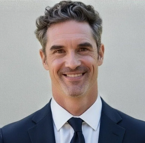
Ryan Burley
Ryan serves as the Director of Business Development for GeoSolutions in North America, supporting all levels of government and several industry sectors in their operational use of open-source geospatial and hybrid deployments - specifically those involving GeoServer, GeoNode, and/or MapStore. Ryan holds a master's degree in Homeland Security - GEOINT from Penn State University and BA in Geography/GIS from University of Washington.

Eddie Pickle
Eddie Pickle is a highly accomplished executive in the public sector, open-source software, and geospatial technology industries, with a career spanning over three decades. He currently serves as a Senior District Manager for Snowflake, a role he assumed following Snowflake's acquisition of Crunchy Data, where he was the Senior Vice President, Public Sector. At Crunchy Data, he led the company's engagement with US government organizations and agencies, bringing over 30 years of experience in geospatial and open-source software to the leading provider of open-source PostgreSQL technology. Mr. Pickle’s open-source career began with pioneering geospatial leader OpenGeo. He went on to serve as the founding CEO when OpenGeo became Boundless Spatial, a leading provider of open-source product support and training, which was later acquired by Planet. Throughout his career, he has worked with commercial, government, and NGO organizations worldwide, serving in roles such as site location specialist, market segmentation analyst, program manager, and critical infrastructure data expert. A dedicated community builder, Mr. Pickle co-founded the popular FedGeoDay and FOSS4G North America conferences. He also serves as the Secretary of the American Geographical Society (celebrating its 175th anniversary in 2026). Mr. Pickle holds an MA degree in Geography from UCLA, where he was a National Science Foundation Fellow, and a BA in Geography from the University of Tennessee.