

Terry Busch
Terry Busch is the President and Chief Data Officer (CDO) of AI Research Corporation (AIR), where he leads efforts to pioneer foundational advancements in artificial intelligence, big data, and data science. With over 25 years of experience in developing and deploying cutting-edge advanced analytics and AI technologies, Terry has played a critical role in shaping intelligence capabilities across the U.S. defense and national security sectors.

Karen Townsend
Karen Townsend is the President of Sea Island Software, a Richmond, Virginia-based company specializing in hurricane decision support. She oversees development, operations, and maintenance of HURREVAC, a widely adopted tool for US government emergency managers in hurricane-prone communities. Her company also supports private sector needs related to real-time risk assessment through HurricaneMapping, an aggregated data service for tracking tropical cyclone threats worldwide.
Kirk Waters
Dr. Waters has been with NOAA since 1996 and focused on making lidar elevation data accessible to coastal management for over 20 years. In addition to managing and maintaining the Digital Coast Data Access Viewer, he serves as NOAA's representative to the 3D Elevation Program Working Group. He's a reformed ocean color satellite oceanographer, primary productivity modeler, and an active zymurgist. His degrees are from the University of California at Berkeley and Santa Barbara.

Joshua S. Campbell
Dr. Joshua S. Campbell is the Founder of Sand Hill Geographic, a consultancy providing advisory services on geospatial technology, policy, and product management. Dr. Campbell has over 25 years of geographic information science and technology experience working across a range of national security, diplomacy, international development, and academic contexts.
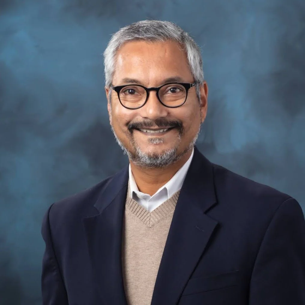
Budhendra “Budhu” Bhaduri
Dr. Budhendra “Budhu’ Bhaduri is a Corporate Research Fellow and the director of the Geospatial Science and Human Security Division at Oak Ridge National Laboratory (ORNL). In that capacity he is responsible for a research portfolio focusing on novel implementation of geospatial science and technology across energy, environment, and national security missions. His research has had global impact and has benefited the U.S. federal missions, international organizations, and private foundations. He has served on the Geographical and Geospatial Sciences Committee of the national academies and is a fellow of the American Association for the Advancement of Science and the American Association of Geographers.Previously, Mr. Delmonico served in various positions leading Geospatial programs for the Department of Defense where his portfolio included architecture, engineering, standards, test and certification, enterprise system development, modeling and simulation, 3D, AR/VR, artificial intelligence, and research in support of mission readiness, training, and planning. Additionally, Mr Delmonico coordinated development of geospatial policy and the design and development of GIS systems connecting multiple organizations and national and international operating locations He has a B.S. in Biology from the State University of New York at New Paltz (1994) and a M.S. in National Resource Strategy from the Industrial College of the Armed Forces (2010).

Josh Delmonico
Mr. Joshua Delmonico serves as the Executive Director for the Federal Geographic Data Committee providing the leadership, coordination, and communication to promote the development, use, sharing, and dissemination of geospatial data nationwide. In this role he provides executive leadership for the coordination of U.S. federal geospatial activities in collaboration with the 32 FGDC member Federal Agencies and OMB to implement the Geospatial Data Act and conduct strategic planning and visioning for the implementation of National Spatial Data Infrastructure (NSDI) across Federal, State, Tribal and local government agencies, academic institutions, non-profit organizations and the private sector.
Previously, Mr. Delmonico served in various positions leading Geospatial programs for the Department of Defense where his portfolio included architecture, engineering, standards, test and certification, enterprise system development, modeling and simulation, 3D, AR/VR, artificial intelligence, and research in support of mission readiness, training, and planning. Additionally, Mr Delmonico coordinated development of geospatial policy and the design and development of GIS systems connecting multiple organizations and national and international operating locations He has a B.S. in Biology from the State University of New York at New Paltz (1994) and a M.S. in National Resource Strategy from the Industrial College of the Armed Forces (2010).

Maggie Cawley
Maggie Cawley serves as the Executive Director for OpenStreetMap US. She joined OSM US in 2019 after 15 years as a geospatial professional with experience across all sectors, with a focus on sustainability and urban planning. Maggie also currently serves as the vice chair of the National Geospatial Advisory Committee, and holds a MA in Urban and Regional Planning from Virginia Commonwealth University and a BA in International Studies from the University of Richmond.


Aaron Kelley
Aaron Kelley, a champion of open-source geospatial solutions, heads UpSlope Advisor, Inc. as its President. This distinguished 8(A) professional engineering federal contracting firm is recognized for its unwavering commitment to delivering IT and GEOINT solutions. Aaron's significant roles, notably as the GEOINT Services engagement lead and product manager for QGIS and GeoServer, have been pivotal in catapulting UpSlope to unparalleled growth—a staggering 11-fold increase in revenue and company stature since 2018. This trajectory is fortified by collaborations with DoD and Civilian government agencies. Amassing over two decades in test engineering, all-source analysis, system engineering, and program management, Aaron's contributions to the geospatial and aerospace sectors are decorated with numerous accolades. This expertise is underscored by his associations with prominent organizations including ESRI, USGIF, OGC, FedGeoDay, OSM US Government Committee, PMI, USMCA, NVBCC, CRMSDC, SECAF, CBDA, and the Arlington Chamber of Commerce.
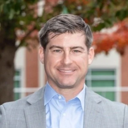
Carter Christopher
Dr. Carter Christopher is Section Head for Human Dynamics R&D in Oak Ridge National Laboratory’s Geospatial Science and Human Security Division. Dr. Christopher leads the Human Geography, Location Intelligence, Built Environment Characterization, and Geoinformatics Engineering research groups at the lab, to solve national- and global-scale challenges for Energy Security and National Security. He is also the Principal Investigator and/or Program Manager for a diverse portfolio of projects, ranging from hazardous material routing and risk characterization to large-scale human mobility modeling, to alternative PNT solutions for the electric grid.
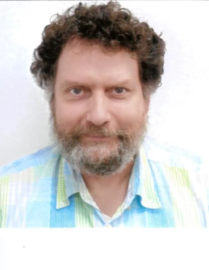
Daniel Roman
Daniel Roman graduated from the Ohio State University with an MS in Geodetic Science and Surveying in 1993 and a Ph.D. in Geological Sciences in 1999. Dr. Roman has served for over 25 years at NOAA's National Geodetic Survey developing geoid models, serving as Chief for Spatial Reference System Division, then as Chief Geodesist and now is NOAA's Senior Advisor for Geodesy.
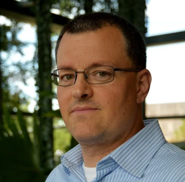
Joshua Coutts
Josh has been a geographer with the U.S. Census Bureau since 2005 and served as a subject matter expert for tribal geographies, statistical areas, and Island Area geographic operations.

Nadine Alameh
Dr. Nadine Alameh is an award-winning globally recognized thought leader in geospatial technologies and their intersection with some of today's most pressing global challenges, including climate resilience, sustainability, intelligent infrastructure, and AI transformation. She is the founder & CEO of LunateAI, guiding enterprises and governments through rapid disruption driven by AI, explosion of geospatial/earth observation data, and emerging computing paradigms.

Mike Tischler
Dr. Michael Tischler is the acting Associate Director of the Core Science Systems Mission Area at the U.S. Geological Survey. The CSS Mission Area serves as the primary national civilian mapping agency, including topographic mapping for Federal and State requirements, national geospatial governance coordination, Landsat satellite operations, and providing research and high-performance compute resources. Dr. Tischler oversees the programs responsible for these capabilities including the National Geospatial Program, National Land Imaging Program, Federal Geospatial Data Committee, and the Science Analytics and Synthesis Program. Dr. Tischler also provides executive oversight of two world-class operational facilities – the Earth Resources Observation and Science Center (EROS), and the National Geospatial Technical Operations Center (NGTOC). Dr. Tischler holds a B.S. in Soil Science from North Dakota State University, a M.S. in Soil and Water Science from the University of Florida, and a Ph.D in Earth Systems and and Geoinformation Science from George Mason University.
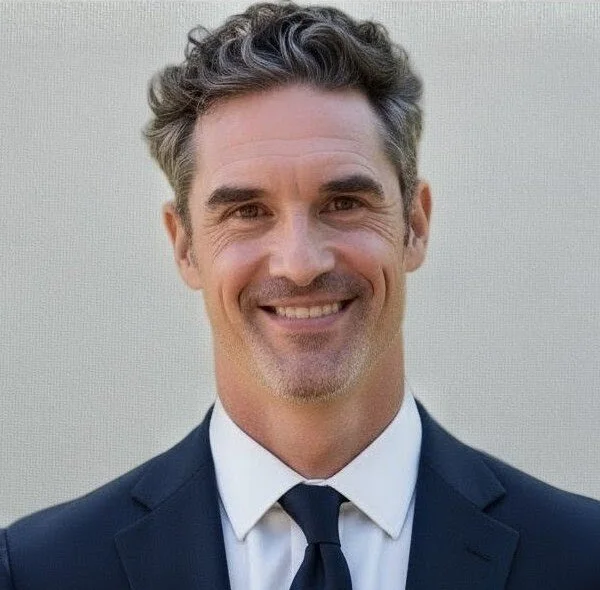
Ryan Burley
Ryan serves as the Director of Business Development for GeoSolutions in North America, supporting all levels of government and several industry sectors in their operational use of open-source geospatial and hybrid deployments - specifically those involving GeoServer, GeoNode, and/or MapStore. Ryan holds a master's degree in Homeland Security - GEOINT from Penn State University and BA in Geography/GIS from University of Washington.

Eddie Pickle
Eddie Pickle is a highly accomplished executive in the public sector, open-source software, and geospatial technology industries, with a career spanning over three decades. He currently serves as a Senior District Manager for Snowflake, a role he assumed following Snowflake's acquisition of Crunchy Data, where he was the Senior Vice President, Public Sector. At Crunchy Data, he led the company's engagement with US government organizations and agencies, bringing over 30 years of experience in geospatial and open-source software to the leading provider of open-source PostgreSQL technology. Mr. Pickle’s open-source career began with pioneering geospatial leader OpenGeo. He went on to serve as the founding CEO when OpenGeo became Boundless Spatial, a leading provider of open-source product support and training, which was later acquired by Planet. Throughout his career, he has worked with commercial, government, and NGO organizations worldwide, serving in roles such as site location specialist, market segmentation analyst, program manager, and critical infrastructure data expert. A dedicated community builder, Mr. Pickle co-founded the popular FedGeoDay and FOSS4G North America conferences. He also serves as the Secretary of the American Geographical Society (celebrating its 175th anniversary in 2026). Mr. Pickle holds an MA degree in Geography from UCLA, where he was a National Science Foundation Fellow, and a BA in Geography from the University of Tennessee.