

Jed Sundwall
Jed Sundwall is the Executive Director of Radiant Earth, a nonprofit working to increase shared understanding of our world by making data easier to access and use. His career has focused on the intersection of data, product development, cloud computing, economics, and policy. Cloud data sharing practices he helped develop are adopted by organizations around the world, including NASA, USGS, Google, and Microsoft. He has taught at the Yale Jackson School of Global Affairs, is a technical fellow at Taylor Geospatial, and advises the Flickr Foundation. Before joining Radiant Earth, he created the AWS Open Data Program. A proud student of the humanities, he uses his "spare time" to produce Techs on Texts, a podcast about the intersection of literature and technology. He is fluent in Spanish, pretty good at Portuguese, and can passably order food in German.

Xan Fredericks
Xan is the Emergency Response Coordinator for the USGS National Geospatial Program, overseeing emergency response activities and the Bureau’s Geospatial Information Response Team. She collaborates with a variety of partners to aid discovery and coordination of geospatial data, as well as the delivery of actionable, science-based information to the Bureau, other agencies, and emergency responders.

Quincy Morgan
Quincy Morgan is Technical Lead at OpenStreetMap US, the nonprofit supporting the OSM project in the United States. His work is centered on improving the quality and accessibility of open geodata through tools and collaboration. Quincy lives in Philadelphia and has a background in geography and GIS, previously working at Esri. When not at his desk, Quincy can be found hiking, kayaking, or road-tripping to the next spot on the map.

Emily Kalda
Emily is a Product Manager at RGi with a passion for all things Agile. In addition to her day-to-day-responsibilities on an AI effort in support of the US Government, she also chairs RGi's AI Community of Practice. She has supported US Government customers ranging from NGA to FEMA to the IRS.

Daniel Dufour
Daniel Dufour serves as the Director of Performance of Management and Open Data for the City of Chattanooga, Tennessee. Previously, he served in various roles in the public and non-profit sector, including NASA, the White House, USDA, and Catholic Charities. He has a bachelor of arts in history from the University of California, Berkeley and a master of arts in conflict resolution from Georgetown University. He is a creator and contributor to numerous open-source projects, including geotiff.io, shapefile.io, and geoblaze.

Shane Brennan
Shane Brennan has over twenty-five years of geospatial and software development experience in Defense and Civil Engineering. Shane excels at solving problems with creative yet practical solutions. He has a particular passion for assisting our nation's soldiers with workflows that increase efficiency and safety.

Jason Gilman
Jason is the AI/ML Applications Lead and Principal Software Engineer at Element 84. He has over 20 years of experience working on large scale Federal geospatial projects for agencies like NASA and NOAA. He was the original lead developer on NASA's Common Metadata Repository and helped with the creation of the STAC (SpatioTemporal Asset Catalog) specification.

Damian R. Taylor
Damian is a computer science and information security expert, a retired U.S. Naval Officer, and currently serves as the Chief Information Security Officer for the United States Postal Service Office of the Inspector General. Prior his current role, he served as the Chief Information Security Officer for Landry’s, Inc. and Fertitta Entertainment (parent company of the Houston Rockets).

Emma Paz
Emma, with a background in environmental studies, has always been passionate about science, geography and data. She discovered coding through GIS, and ever since then has devoted her career to seeking programming work that includes wrangling data together, leveraging databases for spatial analyses, simplifying workflows for researchers and technical users, and building interactive apps that engage the public.
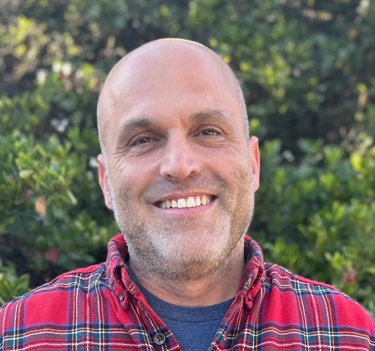
Steve Pousty
Steve is a principal developer advocate at Voxel51, a dad, partner, son, and a founder. He can teach you about Computer Vision, Data Analysis, Java, Python, PostgreSQL, Microservices, and Kubernetes. He has deep expertise in GIS/Spatial, Remote Sensing, Statistics, and Ecology. Steve has a Ph.D. in Ecology and can be bribed with offers of bird watching or fly fishing.

Adam Timm
Adam is an Air Force vet, former Intelligence Officer, and now an open source advocate. He has experience with Government Acquisitions, satellite and airborne Intelligence, Surveillance, and Reconnaissance systems, Digital Transformation initiatives, and now driving adoption of open-source software in the DoD and Federal Government. He currently lives in Wisconsin with his wife and four children.

Drew Zachary
Drew Zachary is a government innovation leader who has co-founded award winning programs including The Opportunity Project and StatVentures. She has served at the U.S. Department of Commerce since 2017, including a 2-year term as DOC's Deputy Chief Data Officer for Innovation, and currently as Deputy Chief Innovation Officer and Managing Director of Census Open Innovation Labs at the U.S. Census Bureau. She previously served at the U.S. Departments of Housing and Urban Development, Health and Human Services, and the White House Domestic Policy Council. Drew holds a PhD in Social Policy from the Heller School at Brandeis University, and a Masters in Public Policy from Johns Hopkins University.

Katie Picchione
As the Response Coordination Lead for NASA’s Disasters Response Coordination System (DRCS), Katie works with the DRCS team, subject matter experts across the Agency, and stakeholders in the emergency management community to develop earth-observation data products that fill information gaps during disasters. Before coming to NASA, Katie held a research position with the Humanitarian Assistance and Disaster Relief Systems group at MIT Lincoln Laboratory, focusing on applications of remote sensing in disaster response and recovery. Leveraging skills in systems analysis and socio-technical systems engineering, she also supported programs related to food aid delivery, supply chain management, conflict prevention, and other humanitarian missions. Katie previously worked at the Federal Emergency Management Agency (FEMA), where she helped identify new uses of aerial imagery in emergency management and served as a crowdsourcing unit leader in the National Response Coordination Center.
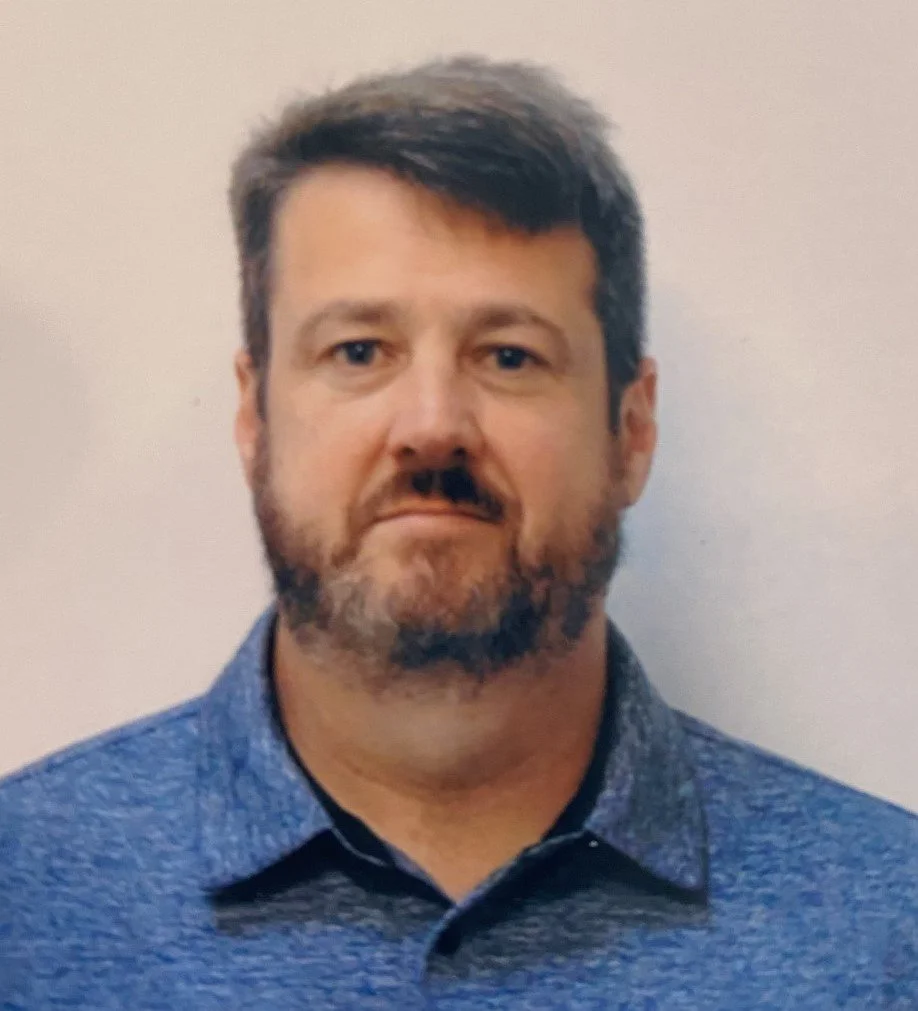
Dan Keefe
Dan Keefe is the Assistant Division Chief for Address Content, Coverage, and Geospatial Reference Data in the Geography Division at the U.S. Census Bureau, where he leads a staff of over 50 employees across 4 branches in the implementation of data science methods, machine learning, and automated change detection, and the on-going update and maintenance of the Census Bureau’s Master Address File.

Alexandra Barker
Alexandra Barker is an award-winning leader in innovation, strategic communications, program development, and public-private partnerships, currently serving as the Director of Operations and Head of StatVentures at the U.S. Census Bureau. She spearheads entrepreneurial initiatives that harness emerging technologies, open data, and collaborative problem-solving to drive modernization in federal statistics. Alexandra is also the founder of Census Academy, the digital hub of the Census Bureau for learning data skills. She is passionate about leveraging cross-sector collaboration to enhance data accessibility, usability, data-driven decision-making and impact for the public good. Alexandra holds a Masters in Public Policy and International Relations from University of Massachusetts Boston, and a bachelor's in Journalism from PUC-Rio Brazil.

Henry Rodman
Henry is a cloud engineer at Development Seed. He builds tools and services that make geospatial data more accessible to all users, shortening the path from raw data to meaningful information. Henry is based in Duluth, MN where he enjoys exploring the great northwoods with his family.

Karen Townsend
Karen Townsend is the President of Sea Island Software, a Richmond, Virginia-based company specializing in hurricane decision support. She oversees development, operations, and maintenance of HURREVAC, a widely adopted tool for US government emergency managers in hurricane-prone communities. Her company also supports private sector needs related to real-time risk assessment through HurricaneMapping, an aggregated data service for tracking tropical cyclone threats worldwide.

Jennifer Bisceglie
Jennifer Bisceglie is the Founder and Executive Vice Chair of Interos, the AI-first supply chain resilience company creating the most trusted and transparent supply chains in the world.

Maggie Cawley
Maggie Cawley serves as the Executive Director for OpenStreetMap US. She joined OSM US in 2019 after 15 years as a geospatial professional with experience across all sectors, with a focus on sustainability and urban planning. Maggie also currently serves as the vice chair of the National Geospatial Advisory Committee, and holds a MA in Urban and Regional Planning from Virginia Commonwealth University and a BA in International Studies from the University of Richmond.

John Crowley
Over 15 years working in humanitarian technology, John has built a career around data sharing and collaboration between large institutions. He wrote the field guide for the World Bank's Open Data for Resilience team, served on the United Nations committee managing the development of the Humanitarian Exchange Language, and built open-source or open data projects as manager of data teams at NetHope, Mercy Corps, and the International Federation of Red Cross and Red Crescent Societies. He also curated the field experiments at Camp Roberts with the National Defense University, where US federal agencies built the MapGive process by which the US State Department releases satellite imagery to the OpenStreetMap community. John holds degrees from the Harvard Kennedy School of Government and Boston University in public administration, music, and the history of ideas.