

Zac Deziel
Zac Deziel is a product manager and creative programmer at Development Seed, focused on helping the Earth observation community adopt open-source tools like eoAPI. He has contributed to the Google Earth Engine QGIS Plugin, Microsoft’s Planetary Computer, NASA's MAAP, and CSDA projects. With a background in cloud-native geospatial, Zac combines technical expertise, user research, and product management to advance data accessibility and analysis.

Karen Townsend
Karen Townsend is the President of Sea Island Software, a Richmond, Virginia-based company specializing in hurricane decision support. She oversees development, operations, and maintenance of HURREVAC, a widely adopted tool for US government emergency managers in hurricane-prone communities. Her company also supports private sector needs related to real-time risk assessment through HurricaneMapping, an aggregated data service for tracking tropical cyclone threats worldwide.

Jennifer Bisceglie
Jennifer Bisceglie is the Founder and Executive Vice Chair of Interos, the AI-first supply chain resilience company creating the most trusted and transparent supply chains in the world.

Josh von Nonn
Josh’s current research examines post-fire ecological recovery and invasive species management through remote sensing techniques, often scaling very high resolution UAS imagery to satellite. Josh designs free and open-source software workflows for geospatial analyses to promote open science and reproducibility.

Jillian Long
Jill works at Cesium on the Business Development team. Jill has always been fascinated by how people relate to place and holds a major in Geography and Urban Studies MIS in GIS from Temple University. Jill’s deep appreciation for geography and eagerness to connect at the human level continues to be a guiding force for her, as she seeks to help clients understand the broader impact and possibilities 3D geospatial insights can unlock.
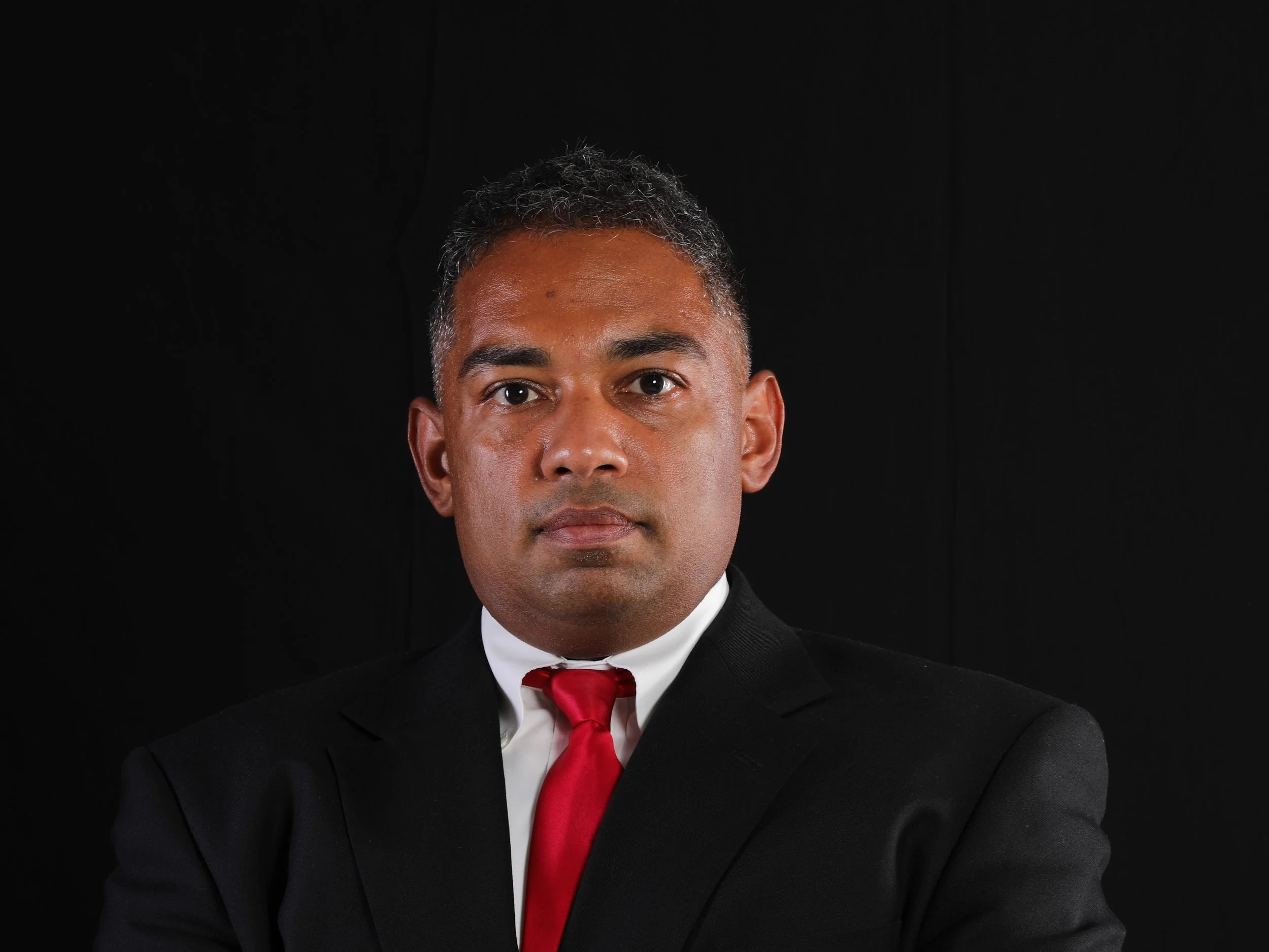
Mike Jadoo
Michael Jadoo currently works as a data scientist at Accenture Federal Services. Before that he worked as an economist at the Bureau of Labor Statistics. He was also an adjunct professor at Montgomery College on the subject of data analysis. He also runs a Meetup group that hosts and supports educational events on statistics, statistical computing, and now Machine Learning/ AI.

Dan Joseph
Dan Joseph is Manager, Data Tech at the American Red Cross, where he works to ensure people, communities, and the Red Cross Red Crescent global network can leverage an understanding of the world through data and technology to achieve better humanitarian outcomes.

Zoë Cohen
Zoë is the Chief Revenue Officer at Element 84, a software development firm specializing in large scale geospatial data systems and remote sensing. Zoë had spent the better part of her career focused on the intersection of technology and positive social impact. Before joining the world of geospatial-technology Zoe worked throughout Africa and Latin America with nonprofits and small technology firms looking to improve the standard of living for people through advances in technology. She holds a MA from Johns Hopkins School of Advanced International Studies (SAIS) and a BA from Wesleyan University.
Kirk Waters
Dr. Waters has been with NOAA since 1996 and focused on making lidar elevation data accessible to coastal management for over 20 years. In addition to managing and maintaining the Digital Coast Data Access Viewer, he serves as NOAA's representative to the 3D Elevation Program Working Group. He's a reformed ocean color satellite oceanographer, primary productivity modeler, and an active zymurgist. His degrees are from the University of California at Berkeley and Santa Barbara.

Joshua S. Campbell
Dr. Joshua S. Campbell is the Founder of Sand Hill Geographic, a consultancy providing advisory services on geospatial technology, policy, and product management. Dr. Campbell has over 25 years of geographic information science and technology experience working across a range of national security, diplomacy, international development, and academic contexts.
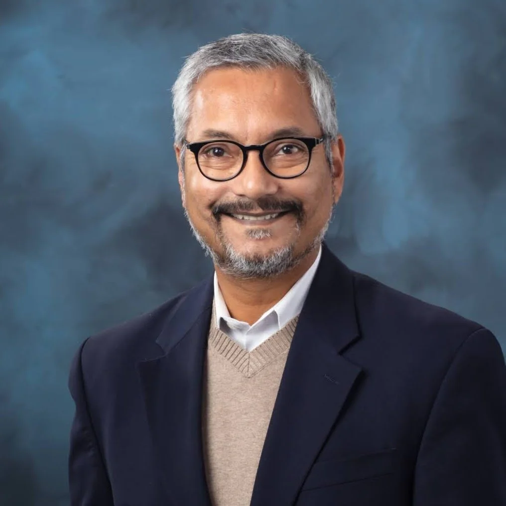
Budhendra “Budhu” Bhaduri
Dr. Budhendra “Budhu’ Bhaduri is a Corporate Research Fellow and the director of the Geospatial Science and Human Security Division at Oak Ridge National Laboratory (ORNL). In that capacity he is responsible for a research portfolio focusing on novel implementation of geospatial science and technology across energy, environment, and national security missions. His research has had global impact and has benefited the U.S. federal missions, international organizations, and private foundations. He has served on the Geographical and Geospatial Sciences Committee of the national academies and is a fellow of the American Association for the Advancement of Science and the American Association of Geographers.Previously, Mr. Delmonico served in various positions leading Geospatial programs for the Department of Defense where his portfolio included architecture, engineering, standards, test and certification, enterprise system development, modeling and simulation, 3D, AR/VR, artificial intelligence, and research in support of mission readiness, training, and planning. Additionally, Mr Delmonico coordinated development of geospatial policy and the design and development of GIS systems connecting multiple organizations and national and international operating locations He has a B.S. in Biology from the State University of New York at New Paltz (1994) and a M.S. in National Resource Strategy from the Industrial College of the Armed Forces (2010).

Josh Delmonico
Mr. Joshua Delmonico serves as the Executive Director for the Federal Geographic Data Committee providing the leadership, coordination, and communication to promote the development, use, sharing, and dissemination of geospatial data nationwide. In this role he provides executive leadership for the coordination of U.S. federal geospatial activities in collaboration with the 32 FGDC member Federal Agencies and OMB to implement the Geospatial Data Act and conduct strategic planning and visioning for the implementation of National Spatial Data Infrastructure (NSDI) across Federal, State, Tribal and local government agencies, academic institutions, non-profit organizations and the private sector.
Previously, Mr. Delmonico served in various positions leading Geospatial programs for the Department of Defense where his portfolio included architecture, engineering, standards, test and certification, enterprise system development, modeling and simulation, 3D, AR/VR, artificial intelligence, and research in support of mission readiness, training, and planning. Additionally, Mr Delmonico coordinated development of geospatial policy and the design and development of GIS systems connecting multiple organizations and national and international operating locations He has a B.S. in Biology from the State University of New York at New Paltz (1994) and a M.S. in National Resource Strategy from the Industrial College of the Armed Forces (2010).

David Carter
As Chief Data Officer at the U.S. Department of the Interior, David Carter oversees geospatial initiatives and data strategies, leveraging over eight years of leadership in geospatial information services. David’s role focuses on advancing data management practices and facilitating collaboration across the department’s 11 bureaus to support the Federal GeoPlatform and compliance with the Geospatial Data Act. With a strong foundation in program management, resource management, and management consulting, David is dedicated to optimizing geospatial resources and fostering innovation within the public sector. His mission is to enhance data-driven decision-making and sustain operational excellence for the Department of the Interior, building on a career that includes extensive experience in geospatial solutions for the private sector, Department of Defense, and Department of the Interior.

Denice Ross
Denice Ross is a Senior Fellow at the Federation of American Scientists, focused on building a more resilient national data infrastructure. Most recently, Denice served as the Deputy U.S. Chief Technology Officer and as the U.S. Chief Data Scientist, where she led the charge to use disaggregated data to drive better outcomes for all Americans. Denice’s 25-year career in using data to serve the public interest has spanned federal and local government, academia, and the nonprofit sector, plus domains ranging from climate to policing. She served as a Presidential Innovation Fellow for the U.S. Department of Energy and as Director of Enterprise Information for the City of New Orleans. Prior to government, Denice co-directed the non-profit data intermediary Data Center, where she collaborated with Brookings to track New Orleans’ recovery from Hurricane Katrina. She brought a data-driven approach to numerous post-Katrina community planning initiatives and co-founded the first new childcare center after the storm.
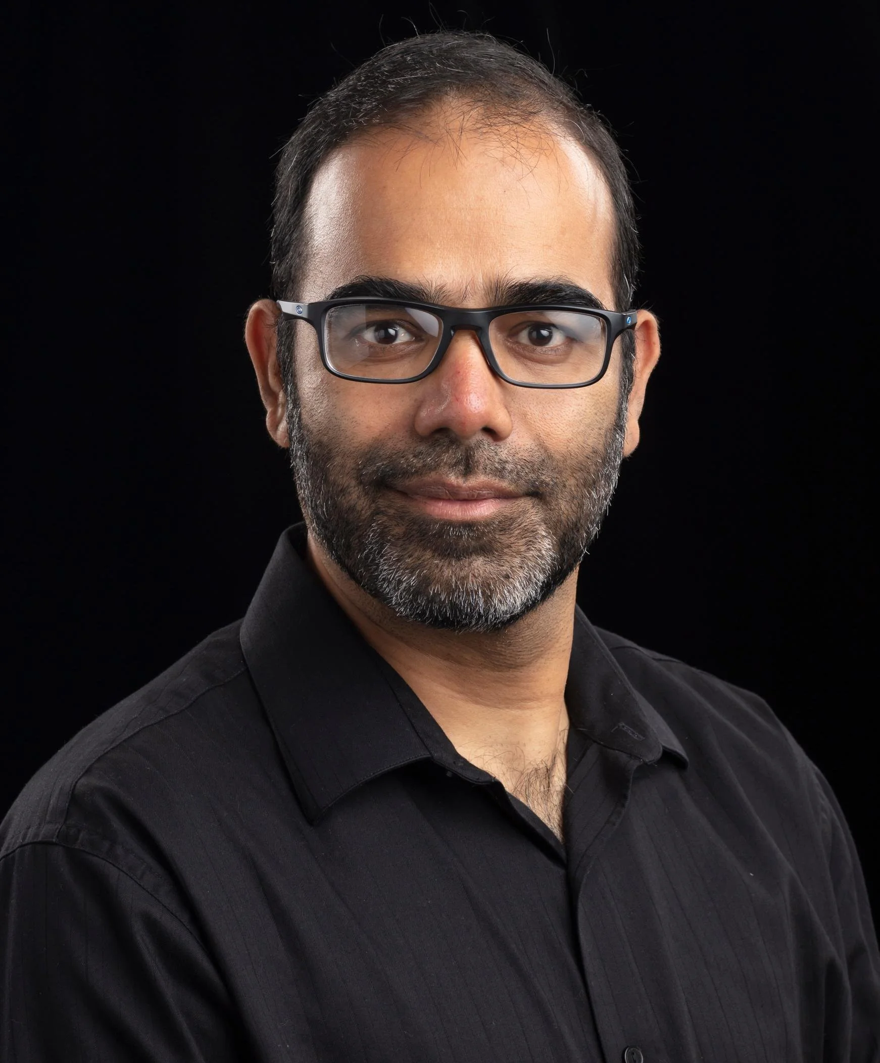
Nagendra Singh
Nagendra Singh is the Group Leader of the Geospatial Data Modeling Group at Oak Ridge National Laboratory, where he has worked for over 20 years. His research focuses on applying geospatial science to address complex challenges in national security and the resilience of critical infrastructure, supporting agencies such as the DOE, DOD, and DHS. He also leads the HIFLD program at ORNL and serves on the DOE’s Geospatial Sciences Steering Committee.

Maggie Cawley
Maggie Cawley serves as the Executive Director for OpenStreetMap US. She joined OSM US in 2019 after 15 years as a geospatial professional with experience across all sectors, with a focus on sustainability and urban planning. Maggie also currently serves as the vice chair of the National Geospatial Advisory Committee, and holds a MA in Urban and Regional Planning from Virginia Commonwealth University and a BA in International Studies from the University of Richmond.
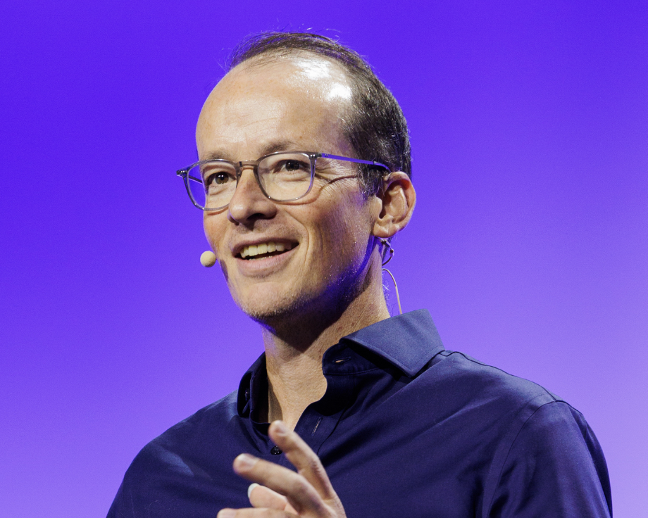
Andrew Turner
Andrew Turner is CTO of ArcGIS Hub and Director of Esri’s R&D Center in Washington, DC, where he leads teams building open data and geospatial collaboration technology used by governments and organizations in the US and globally. He previously served as CTO of GeoIQ, acquired by Esri in 2012, and has worked with partners including the World Bank, United Nations, NOAA, and hundreds of municipal governments to scale public-facing data and mapping platforms.
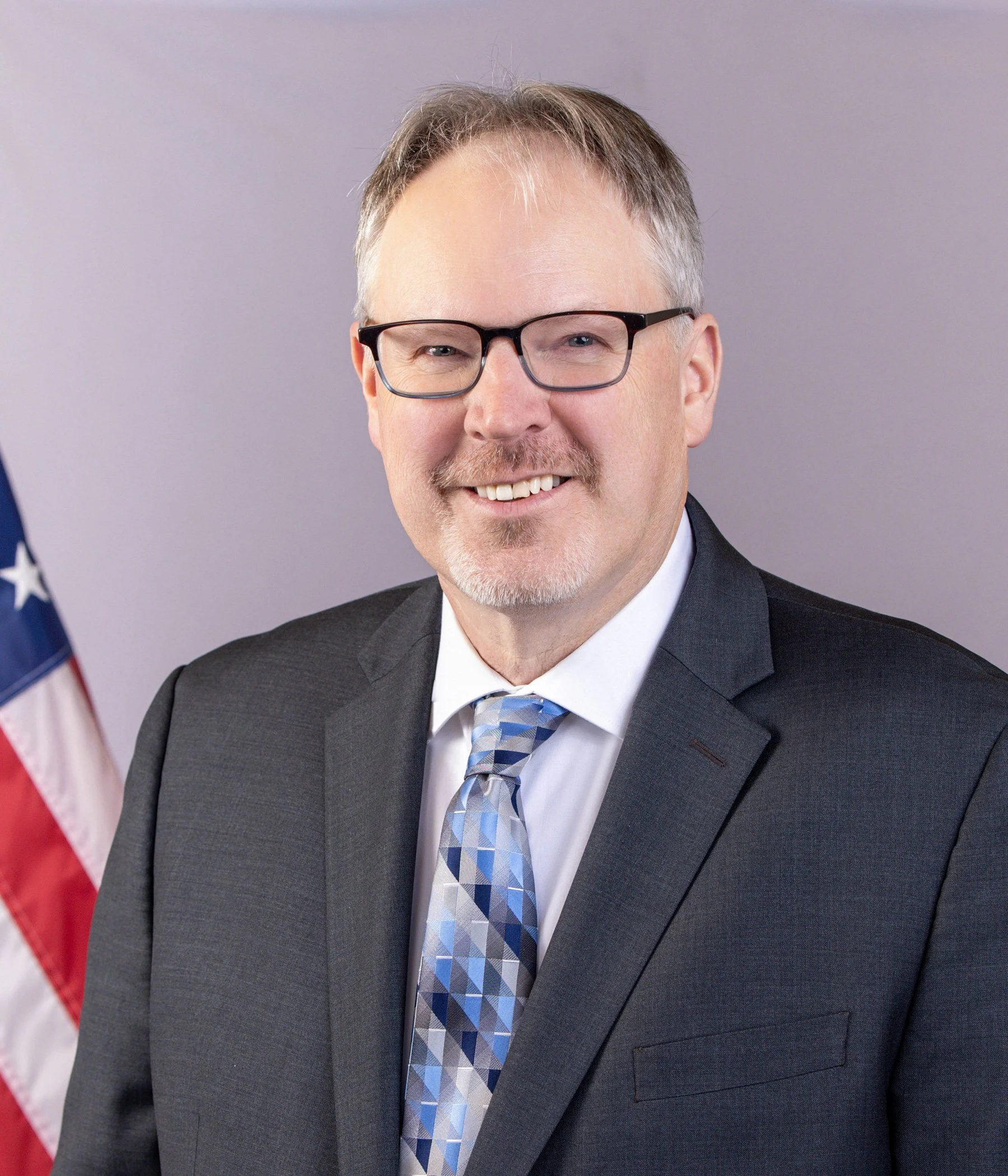
Ron Jarmin
Ron S. Jarmin is the deputy director and chief operating officer of the U.S. Census Bureau. In these roles, he plans, coordinates and oversees daily operations at the largest statistical agency of the federal government. While best known for the decennial census, the Census Bureau conducts other surveys and censuses that measure changing individual and household demographics and the economic condition of the nation. Jarmin served as acting director from January 2021 to January 2022, performed the nonexclusive functions and duties of the director from July 2017 to January 2019, and previously served as the associate director for economic programs. In these roles, Jarmin championed modernization efforts across the Census Bureau including the introduction of internet response for the 2020 Census and moving to 100 percent internet data collection for the Economic Census beginning in 2017. He has overseen the introduction of new nonsurvey data to improve economic indicators, the consolidation of surveys, and the deployment of enterprise investments to minimize system, application, and dissemination costs. From 2011 to 2016, Jarmin served as assistant director for research and methodology where he oversaw a broad research program in statistics, survey methodology, and economics aimed at improving economic and social measurements within the federal statistical system. Since beginning his career at the Census Bureau in 1992, he has also served as the chief economist, chief of the Center for Economic Studies, and as a research economist. Jarmin holds a Ph.D. in economics from the University of Oregon. An elected fellow of the American Statistical Association, he has published papers in the areas of industrial organization, business dynamics, entrepreneurship, technology and firm performance, urban economics, data access, and statistical disclosure avoidance.
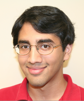
Puneet Kollipara
Puneet Kollipara is a geospatial data scientist and outreach/communications specialist in Washington, DC. Leveraging open source, open data and open science, he helps clients find, analyze, provide, translate and integrate data for the benefit of people and the planet. He works with Fulton Ring and the Public Environmental Data Partners on HIFLD Next, a community-shaped geospatial data hub with tools for exploring and downloading archived layers from HIFLD Open, an infrastructure data portal discontinued in 2025. To support open ecosystems, Puneet mentors aspiring technologists via The Upskilling Labs and other apprenticeships, and helps plan convenings like FedGeoDay, FOSS4G North America and the SciPy Conference. Previously a science, environmental and public-policy journalist and blogger, Puneet holds a bachelor’s degree in physics and economics from Washington University in St. Louis, MO.
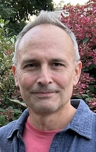
Timothy Stryker
Tim Stryker serves as Principal for Hudson Passage, LLC, a consultancy which advises clients on effective science and technology policies and partnerships for a more secure and sustainable world. Mr. Stryker was previously employed as Chief of the Outreach and Collaboration Branch of the U.S. Geological Survey National Land Imaging Program, where he worked closely with stakeholders to advance the societal benefits of remote sensing systems. He also served as Director of the U.S. Group on Earth Observations Program at the White House Office of Science and Technology Policy. In this capacity, he coordinated civil Earth observation activities, including systems assessments and data management initiatives, among multiple Federal agencies and their international partners.
Mr. Stryker’s other prior positions include Executive Officer of the international Committee on Earth Observation Satellites, and Deputy Director of the Office of Policy at the National Reconnaissance Office. He has also served in assignments at the National Oceanic and Atmospheric Administration, the U.S. Department of Commerce, the White House Office of Management and Budget, the Federal Communications Commission, and the U.S. Information Agency.
A former Presidential Management Fellow, Mr. Stryker earned his Master’s Degree in Foreign Service from Georgetown University and his Bachelor’s Degree in History from the University of Michigan.