
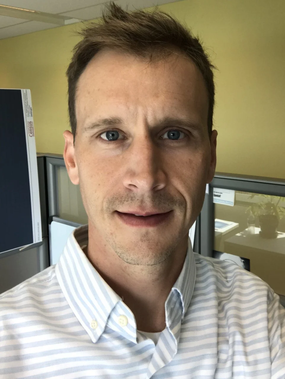
Heath Hayward
Heath Hayward is a Geographer and Data Scientist in the Center for Economic Studies (CES) at the U.S. Census Bureau. He has developed data tools for the Longitudinal Employer-Household Dynamics (LEHD) program since 2006. Prior to working at the Census Bureau, Mr. Hayward completed his master’s degree in Geographic Information Science at the University of Denver and his bachelor’s degree in economics from DePauw University in Indiana.
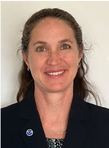
Marian Westley
Marian Westley, PhD, is the Director of NOAA’s Center for Operational Oceanographic Products and Services (CO-OPS), the nation’s authoritative source for accurate, reliable and timely water level and current measurements. In this role, she oversees and continues to improve this 24- hour a day operation to provide mariners, coastal managers, and many other users with historic, realtime, and forecast data on ocean conditions along America’s 95,000mile coastline. Dr. Westley's career with NOAA spans over twenty years with much of that time spent advancing climate research and the transition of research to operations. She joined CO-OPS in 2017 as the Deputy Director and has been the acting Director since January 2023. Dr. Westley has a BA in Physics and English from Yale University and an MSc and PhD in Oceanography and a Graduate Certificate in Ocean Policy from the University Hawaii at Manoa.

Miles Weule
Miles has been a cartographer in the office of spatial analysis and visualization at the Bureau of Transportation Statistics since 2021. He studied geography at Clark University and previously supported vision zero implementation for the city of Cambridge, MA.

Marie Urban
Marie Urban leads the Human Geography Group within the Geospatial Science and Human Security Division at Oak Ridge National Laboratory and has nearly two decades of experience advancing high-resolution population modeling in direct support of U.S. government and national security missions. Throughout her career, she has played a central role in the development, sustainment, and evolution of the LandScan program, leading efforts in data integration, spatial analysis, and remote sensing to deliver authoritative, globally consistent population datasets at national and planetary scales.

Daniel Roman
Daniel Roman graduated from the Ohio State University with an MS in Geodetic Science and Surveying in 1993 and a Ph.D. in Geological Sciences in 1999. Dr. Roman has served for over 25 years at NOAA's National Geodetic Survey developing geoid models, serving as Chief for Spatial Reference System Division, then as Chief Geodesist and now is NOAA's Senior Advisor for Geodesy.

Dominic Menegus
Dominic Menegus is a geographer with the US Department of Transportation’s (USDOT) Office of the Assistant Secretary for Research and Technology (OST-R), specifically under the Bureau of Transportation Statistics (BTS). Mr. Menegus has been with BTS for almost 17 years and is the project manager for the National Transportation Atlas Database (NTAD). NTAD is a collection of over 130 different geospatial datasets and tables from the Operating Administrations within the USDOT, along with many different government agencies. Prior to working at BTS, Mr. Menegus completed his master’s degree in Geographic and Cartographic Sciences at George Mason University and his bachelor’s degree in Geography from the University of Delaware.
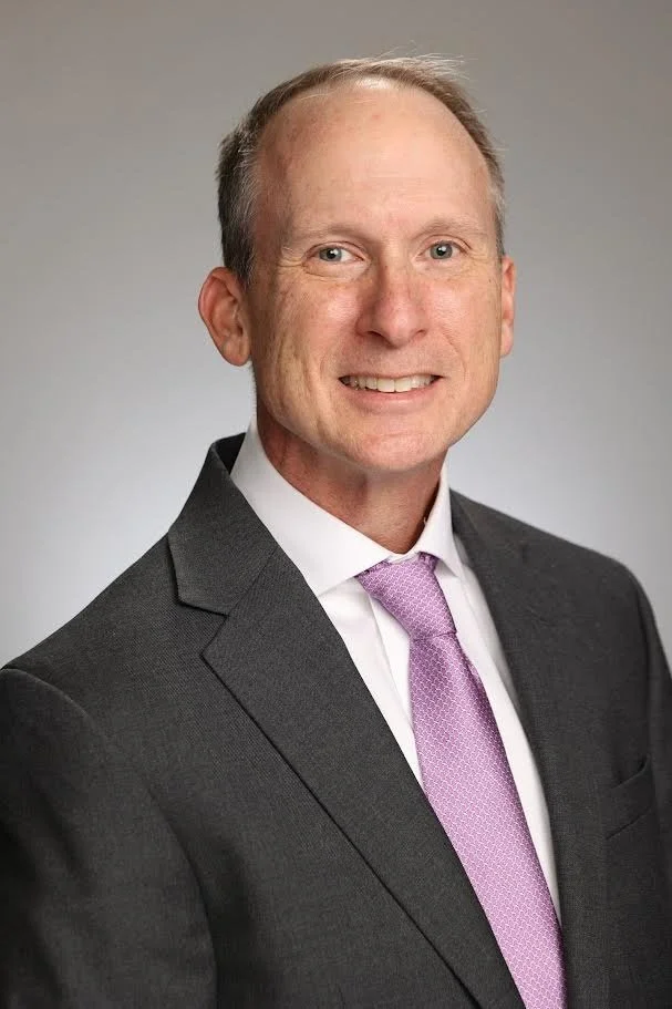

Dan Gillins
Dan Gillins is Chief of the Observation and Analysis Division at NOAA's National Geodetic Survey (NGS). He holds a Ph.D. in civil engineering from the University of Utah and has served in previous leadership roles at NGS as chief of the Spatial Reference System Division and as team lead for OPUS. Prior to his service at NGS, Dr. Gillins worked as an assistant professor at Oregon State University and as a land surveyor for the Bureau of Land Management and the US Forest Service. Dan has over 20 years of experience in geodetic surveying, cadastral surveying, and surveying education and has published over 50 related articles.

Frank Donnelly
Frank Donnelly is a geospatial information professional whose work integrates geography with library and information science. He has several decades of experience with GIS and geospatial technology, and was an early adopter of open source GIS in higher education. An expert in government datasets, he is the author of Exploring the US Census: Your Guide to America's Data, and is an active volunteer with the Data Rescue Project. He is currently the Head of GIS and Data Services at the Brown University Library, where he supports students, faculty, and staff with GIS and demographic research. He holds an MA in Geography from the University of Toronto and an MLIS from the University of Washington. You can read about his work on his website, At These Coordinates.

Hector Ferronato
Hector Ferronato is Vice President of Engineering and Geospatial at Reveal Global Consulting, where he leads large multidisciplinary teams building AI, geospatial, and computer vision solutions that turn satellite imagery into measurable business value. He specializes in applying geospatial AI to real-world operational problems, helping organizations move from raw imagery to decision-ready insight at scale.

Greg Hanks
Greg Hanks serves as a Senior Technical Project Manager at Imagine Believe Realize, LLC (IBR), providing business development strategy and project management for federal civilian and defense agency contracts. He specializes in advancing geospatial data collection, integration, and collaboration. Before joining IBR, Greg built a distinguished 27-year career at the U.S. Census Bureau, leading major geospatial programs and enterprise IT implementation efforts.
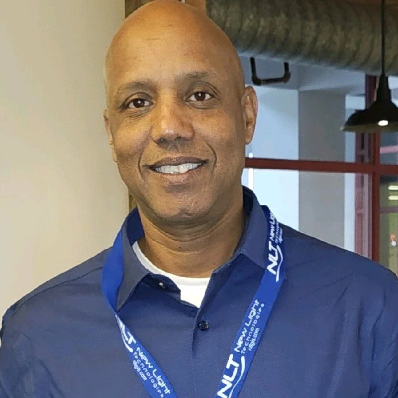
Ghermay Araya
Ghermay Araya is the Founder and CEO of New Light Technologies, where he leads a multidisciplinary team and works closely with partners to deliver cutting-edge geospatial, data science, and cloud solutions. With over 30 years of experience, he has guided impactful projects focused on modernizing address management and advancing sptial data infrastructure. At FedGeoDay, Ghermay will share how he and the team are tackling address challenges to improve accuracy, interoperability, and government service delivery.
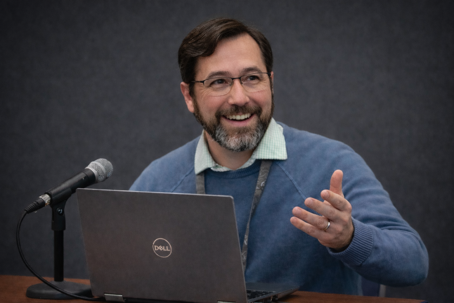
Jesse Osborne
Jesse Osborne is a geographer by training with academic specialization in remote sensing and geographic information systems. He earned both his undergraduate and graduate degrees from the University of Maryland, Baltimore County (UMBC). With more than 20 years of experience spanning geospatial analytics and artificial intelligence, Jesse has held a wide-range of roles, from analyst to Chief Technology Officer, supporting over 30 agencies and organizations across the U.S. federal government.

Jaymes Cloninger
Jaymes Cloninger is a visionary leader and the CEO of Motivf Corporation, where he has been at the helm since April 2016. With an impressive career spanning over two decades, Jaymes has cultivated a reputation for fostering innovation, empathy, and trust within dynamic, global teams. His leadership philosophy emphasizes lifelong learning and service, driving Motivf to achieve unparalleled outcomes in the information technology, multimedia, and geospatial industries.
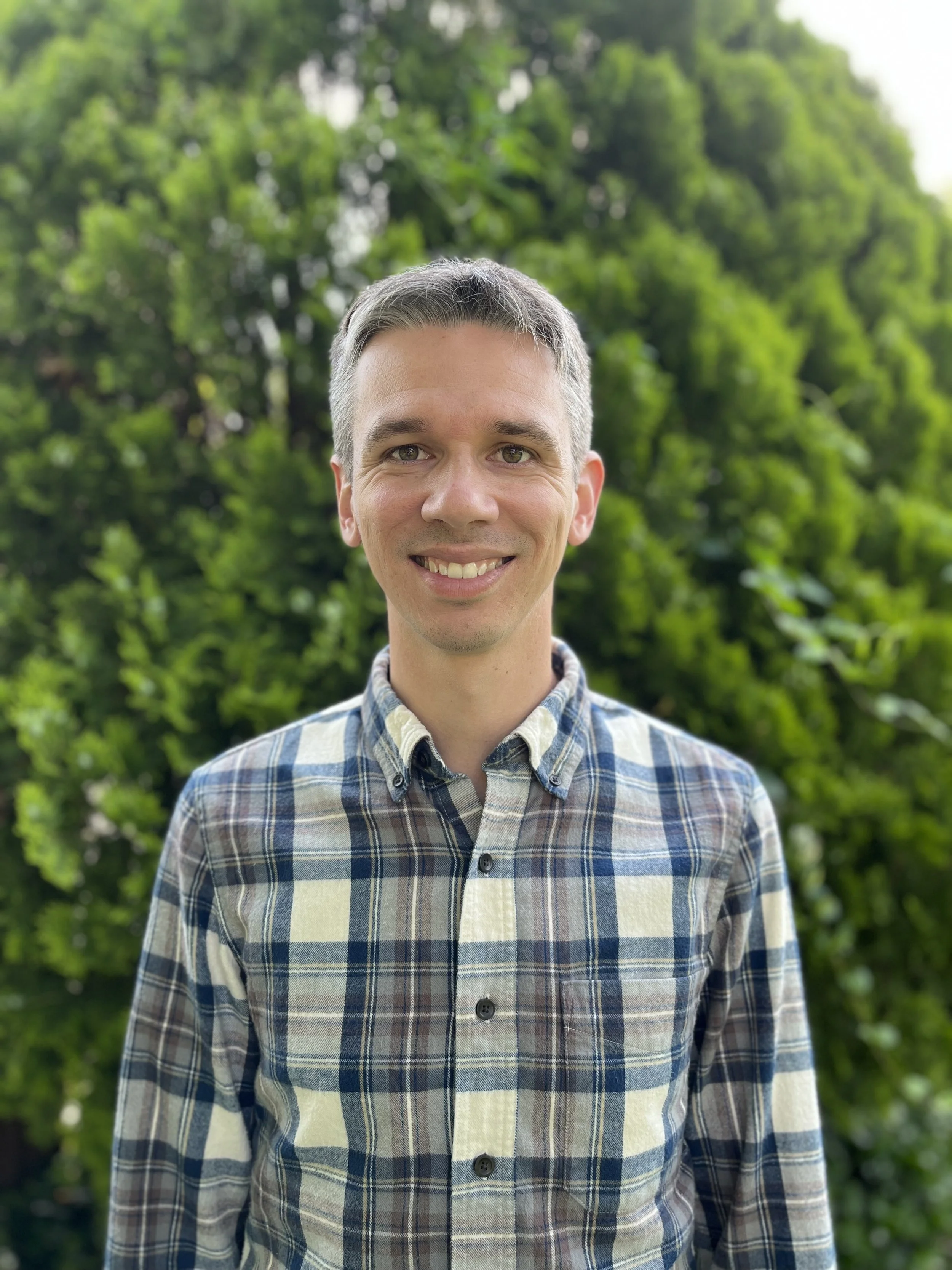
Reed Van Beveren
Reed Van Beveren is Deputy Director of Technology at the Environmental Policy Innovation Center (EPIC), a national nonprofit focused on speeding up environmental progress, where he leads a variety of projects to help government agencies, their partners, and the public better leverage environmental data. Prior to joining EPIC, Reed spent 8 years at the U.S. Government Accountability Office (GAO) reviewing federal government programs as part of the Natural Resources and Environment team. His work at GAO included major reviews of EPA’s air quality monitoring program and technology transfer at multiple agencies, and building a community of practice focused on better use of data, tools and analytics. Reed holds a Masters of Public Administration from Cornell University, where he focused on science, technology, and infrastructure policy, and BA in International Political Economy from Georgetown University.
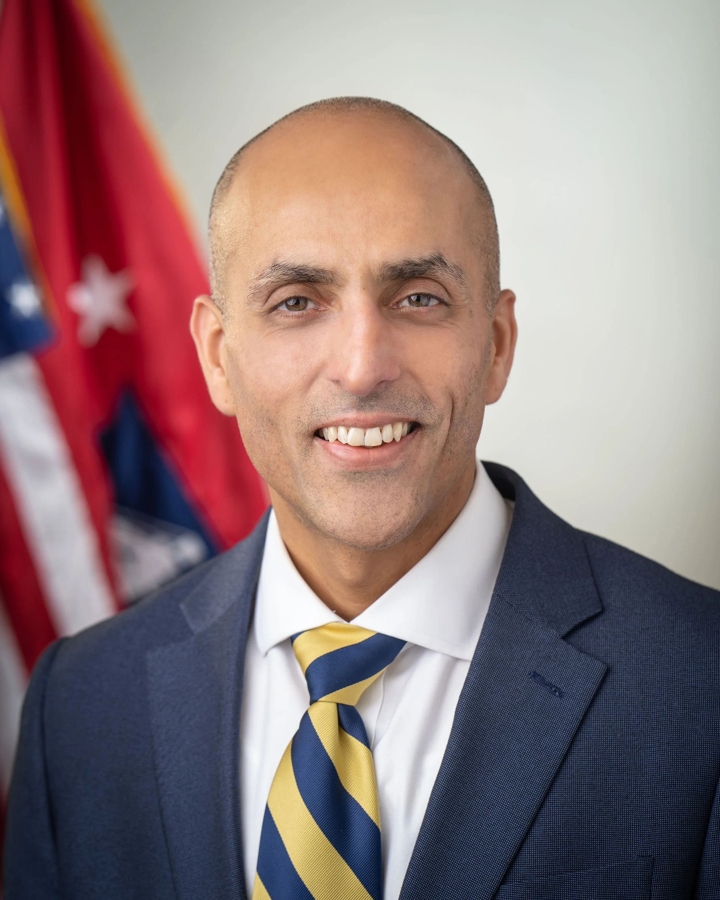
Vipin Arora
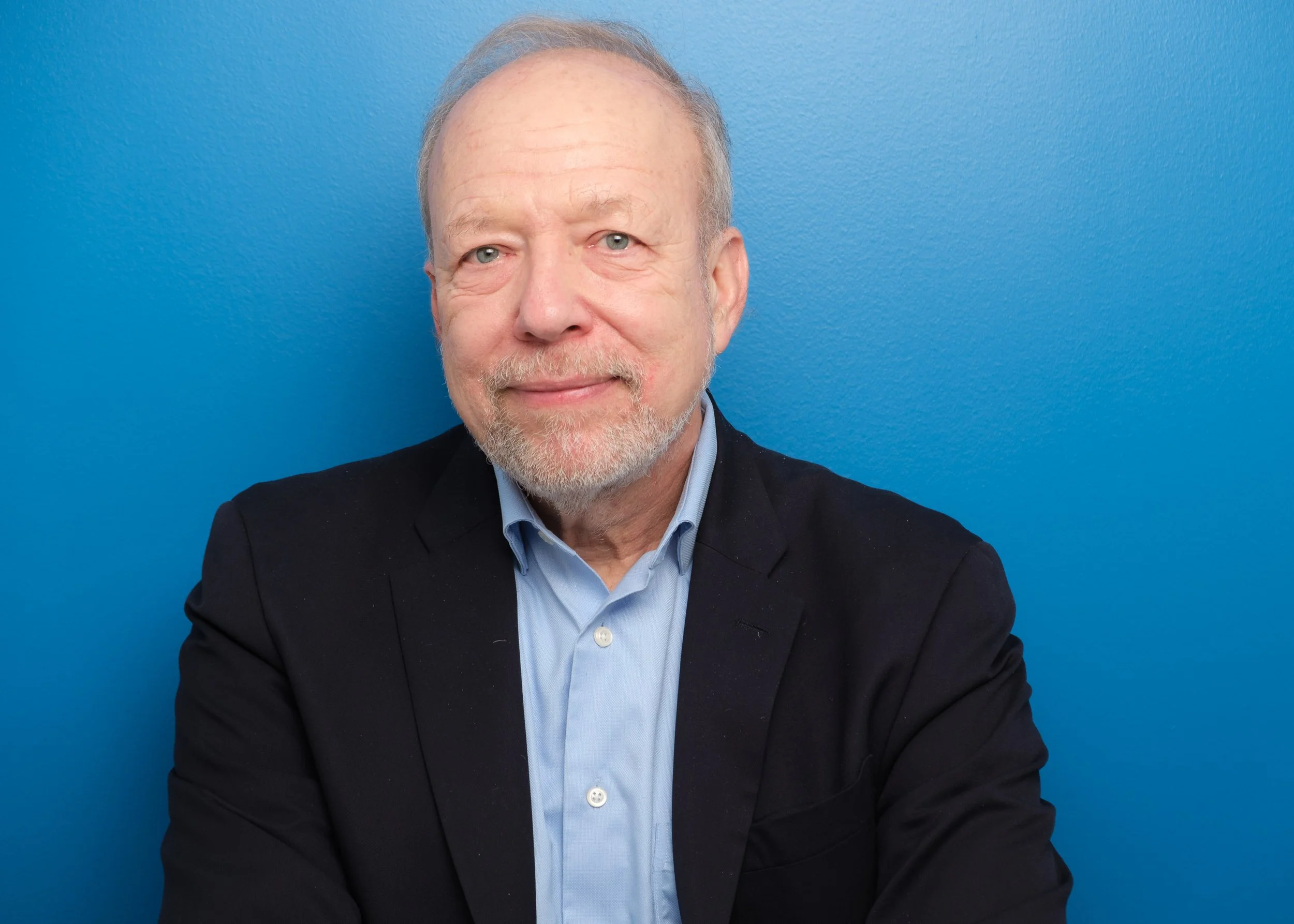
Dr. Arora oversees the production of closely watched economic statistics that provide an objective and timely picture of the U.S. economy. These include gross domestic product (GDP), personal income, and other national statistics, as well as data about states, counties, and industries, and U.S. international trade and investment.
Joel Gurin
Joel Gurin is the President and Founder of the Center for Open Data Enterprise (CODE) and author of the book Open Data Now. Before launching CODE in January 2015 he served as Chair of the White House Task Force on Smart Disclosure, which studied how open government data can improve consumer markets, and as Chief of the Consumer and Governmental Affairs Bureau of the U.S. Federal Communications Commission. For more than a decade he was Editorial Director and then Executive Vice President of Consumer Reports, where he directed the launch and development of ConsumerReports.org, which was then the world’s largest paid-subscription information-based website. He is a graduate of Harvard University with an A.B. in Biochemical Sciences, Magna Cum Laude, Phi Beta Kappa.

Anya Stockburger
Anya Stockburger leads the team of economists responsible for revising the Consumer Price Index. In addition to keeping the market basket updated, her group plays a critical role managing revisions to the CPI’s underlying geographic structure. With over 20 years of experience, she has overseen improvements to CPI methodology like the incorporation of new data sources and innovations like creating new products that measure inflation faced by households across the income distribution. She recently served on an inter-agency committee to address data gaps in the US Territories and loves to talk about this issue.

Bethany Desalvo
Dr. Bethany DeSalvo serves as a Senior Demographic Statistician of the Small Area and Longitudinal Estimates at the United States Census Bureau. Her multidisciplinary team is responsible for the research, development and application of small area estimation techniques to population-level data. Bethany leads the Census Bureau’s program on community resilience.

Kyle Hood
Dr. Kyle Hood is Chief of the Research and Analysis Group in the Regional Economic Accounts at the US Bureau of Economic Analysis. This group is focused on research to improve and expand regional (for example, state, county or metro area) economic accounts statistics. During his tenure, the group contributed to the development of prototype or experimental statistics on research and development spending by state, the distribution of personal income by state, and quarterly personal consumption expenditures by state, as well as others, and its members have published many articles on various statistical topics. Dr. Hood’s research covers several fields including the measurement of banking services, applied econometric methods and nowcasting techniques for official statistics, machine learning and alternative data for official statistics, and modelling interregional economic flows. His work has appeared in various journals such as the Journal of Urban Economics and the Review of Income and Wealth.