


FedGeoDay 2026 Program
FedGeoDay is on
April 22-23, 2026
Events will be held at Census Bureau Headquarters in Suitland, MD.
April 23 - Day 2
8:00 AM
Census Bureau
Registration & Networking
9:00 AM
Census Bureau
Welcome

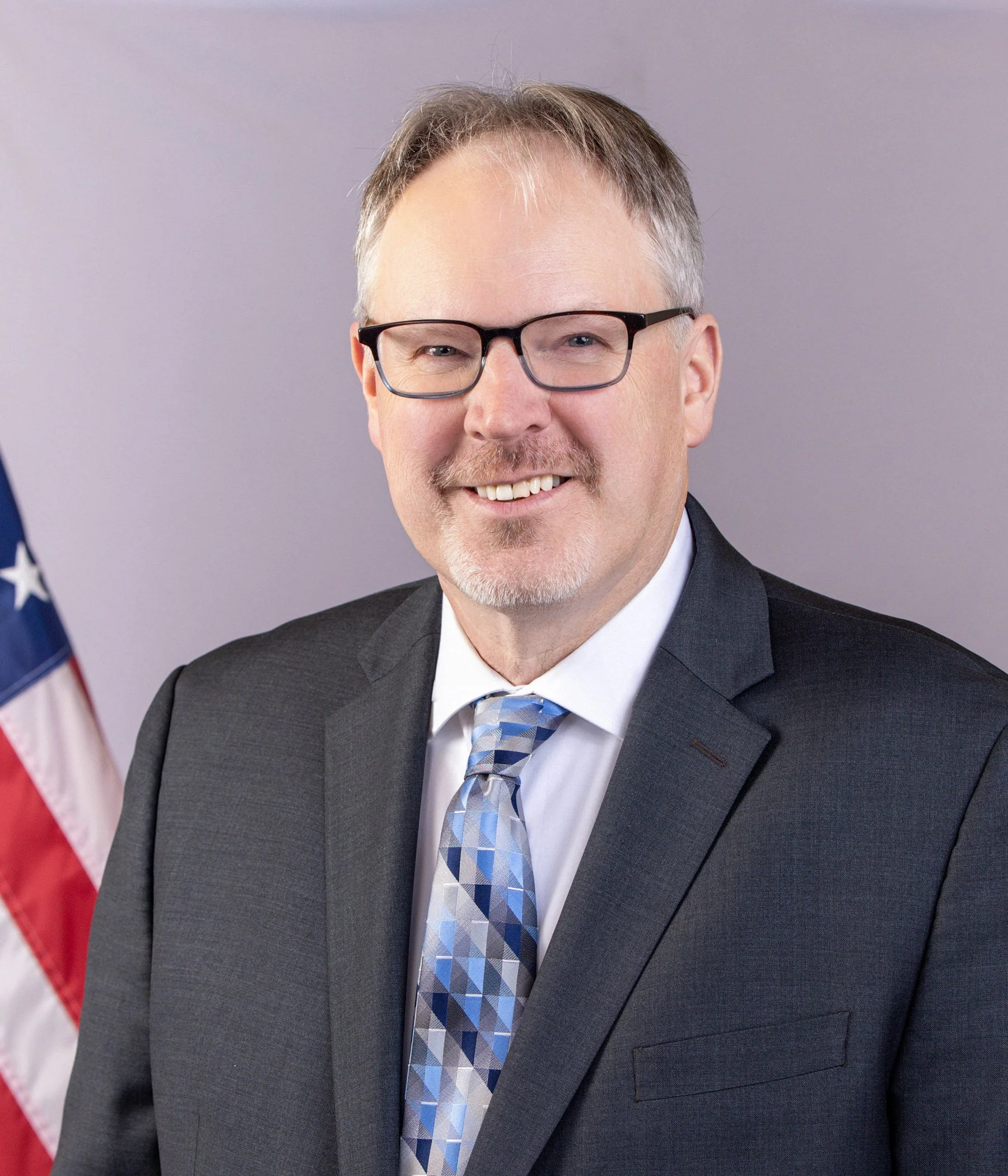
Andrea Johnson
Deputy Division Chief
U.S. Census Bureau’s Geography Division
9:15 AM
Census Bureau
Fireside Chat - The Integration of Geospatial and Statistical Data at BEA, BLS, and Census Bureau
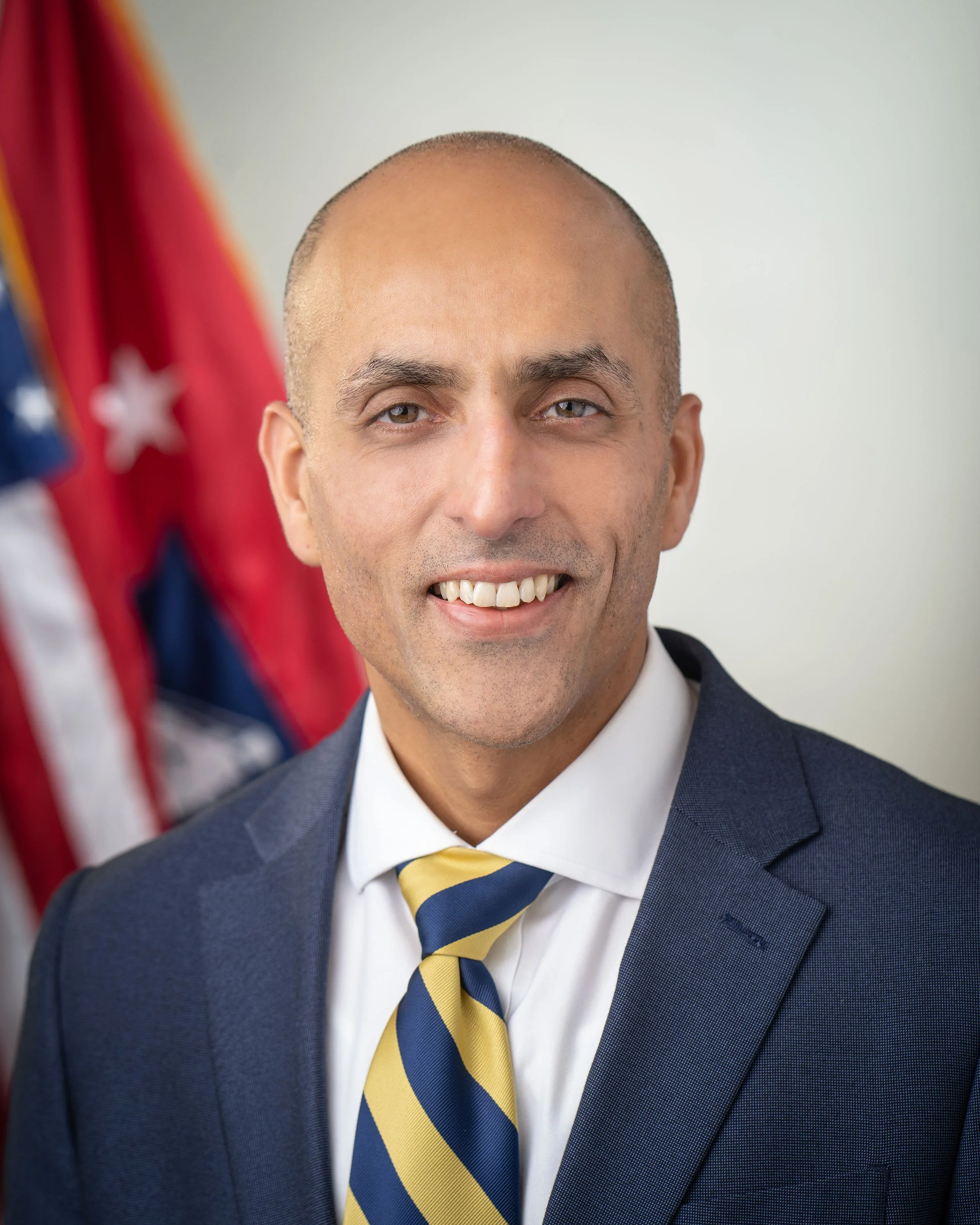
Dr. Ron Jarmin
Deputy Director
U.S. Census Bureau
Dr. Vipin Arora
Director
Bureau of Economic Analysis
Bill Wiatrowski
Deputy Commissioner
Bureau of Labor Statistics
9:45 AM
Census Bureau
Panel - The Integration of Geospatial and Statistical Data at BEA, BLS, and Census Bureau
Josh Coutts
Branch Chief
U.S. Census Bureau

Dr. Kyle Hood
Chief, Research Analysis Group
Bureau of Economic Analysis

Anya Stockburger
Branch Chief
Bureau of Labor Statistics
Bethany DeSalvo
Senior Demographic Statistician
U.S. Census Bureau
11:00 AM
Census Bureau
Local Infrastructure Network Knowledge Project
Jesse Osborne
Data Scientist
NAPSG
11:15 AM
Census Bureau
The Open Wetlands Map
Reed Van Beveren
Deputy Director of Technology
Environmental Policy Innovation Center
11:30 AM
Census Bureau
Lessons from the Frontlines: NASA/NOAA's Open Source Common Metadata Repository Collaboration
Justin Rice
Deputy Manager of the ESDIS Science Systems Development Office
NASA
11:45 AM
Census Bureau
GIO Survey Results

Jaymes Cloninger
Chief Executive Officer
Motivf
12:00 PM
Census Bureau
Lunch
1:00 PM
Open Source at the Census Bureau
-
Presenter: Kevin Howald
The Census Bureau has partnered with IBR LLC to provide a freely available, internet-based, open source GIS application that enables a governmental user to add, edit, and manage the geospatial data for their community in one place - using existing Census Bureau data as a framework - and then share that data with the Census Bureau without any licensing requirements. Using the Geographic Update Partnership Software (GUPS), users can build address lists, assign structure coordinates, and ensure complete and spatially accurate road and boundary networks. This innovative solution to Geospatial Applications and Data Modernization is real, is working now, and demonstrates the flexibility and advantages of open-source software usage.
-
Presenter: Hector Ferronato
This session will present the SOC Satellite project, where SOC refers to the Survey of Construction—a core federal program used by the U.S. Census Bureau to measure housing starts, construction activity, and economic trends. The project explores how satellite imagery can complement and enhance traditional Survey of Construction workflows by providing broader geographic coverage, faster change detection, and independent validation of construction activity. SOC Satellite combines openly available Earth observation data (such as Sentinel-2), open geospatial datasets including OpenStreetMap boundaries, and privately tasked high-resolution satellite imagery to detect, monitor, and characterize construction and land-use change. At the core of the platform is an open-source Python engine that orchestrates data ingestion, geospatial processing, and computer vision and image segmentation models to identify structures, construction footprints, and development patterns using open standards and reproducible workflows. The session will show how blending open data with commercial imagery supports the Census Bureau and other economic divisions by improving timeliness, reducing manual field burden, and enabling scalable, auditable analysis for federal statistical and infrastructure programs.
-
Presenter: Ghermay Araya
The Census Bureau's Longitudinal Employer-Household Dynamics (LEHD) program is one of the most compelling and underappreciated open data success stories in the federal government. For over 25 years, LEHD has quietly built something extraordinary: a national workforce intelligence ecosystem powered by a voluntary data-sharing partnership between the Census Bureau and state Unemployment Insurance (UI) agencies across all 50 states, the District of Columbia, Puerto Rico, and the U.S. Virgin Islands.
None of this is possible without the incredible participation of the states and territories themselves. Through the Local Employment Dynamics (LED) Partnership — a voluntary agreement launched in 1999 — nearly every U.S. state, the District of Columbia, Puerto Rico, and the U.S. Virgin Islands have chosen to share their confidential Unemployment Insurance earnings and employment data with the Census Bureau. That level of voluntary participation across virtually the entire nation is remarkable and rare in the federal data landscape.
This session will explore the LEHD program as a case study in how open data, open collaboration, and federal-state partnerships can produce nationally significant datasets that serve everyone — from federal policymakers to local planning commissions to individual researchers.
We will trace the arc of this program from its early days to its current suite of open data products — including the Quarterly Workforce Indicators (QWI), LEHD Origin-Destination Employment Statistics (LODES), OnTheMap, Job-to-Job Flows (J2J), Post-Secondary Employment Outcomes (PSEO), and the newer Veteran Employment Outcomes (VEO) — and examine how each product was born from the same foundational collaboration: states sharing UI earnings data with the Census Bureau, which then combines it with federal administrative records and census data to produce something far greater than the sum of its parts.
Breakouts (Unconference, Workshops)
Workshops - Room Assignments TBD
-
Presenters:
Marie Urban
Josh Coutts
Explore how Census population data combined with geospatial data can be integrated to develop risk, vulnerability, and resilience indicators to support national security, disaster preparedness, infrastructure resilience, and promote community well-being.
Development of population exposure indicators, community vulnerability metrics, and resilience indicators.
Data integration challenges administrative vs. gridded data, spatial scale challenges, MAUP and hierarchical modeling, temporal resolution differences, and uncertainty and validation.
Case studies including disaster preparedness, infrastructure resilience, population displacement, and health/environmental exposure.
Joint population resilience indicators, research publications, and collaborative projects.
-
Presenters:
Abstract:
The National Geodetic Survey will present an update on tools and models out for Beta testing access to the modernized NSRS. This will provide a more technical update to the customers of geodetic data for geospatial products and services. This update is intended for geospatial SME's within government and the private sector, but NGDA Theme Leads and Senior Agency Officials for Geospatial Information (SAOGI's) are welcome to participate. The intent of the session is to present the currently available data and models out for Beta realization with applications towards modernizing surveying techniques and migration of existing geospatial data to the modernized NSRS. SME's should takeaway knowledge of the tools and models and use this to develop update plans for when the NSRS is modernized in early 2027.
-
Presenters: Andrea Aime
This session provides an overview of GeoServer 3, featuring a guided tour of its updated user interface and key capabilities for serving and managing geospatial data.
Attendees will explore real-world use cases in maritime security and earth observation, highlighting how GeoServer supports mission-critical data dissemination.
The session also introduces modern standards and technologies, including OGC APIs and vector tiles, enabling more efficient and flexible data access. In addition, it will touch on GeoServer Cloud and how cloud-native deployments are shaping scalable geospatial infrastructures.
Led by GeoServer core developer Andrea Aime, the session will conclude with an open discussion and Q&A.
-
Facilitators: Rajan Desai, Puneet Kollipara, Jeremy Herzog, Jennifer Sims, Jessi Breen
This session examines what it takes to keep critical infrastructure datasets current, credible, and discoverable over time using the HIFLD Open dataset collection as a case study and common frame of reference.
Using a World Café format, participants will rotate through three facilitated tables, each anchored by a subject matter expert who depends on public data as a consumer, navigator, or builder. Each table tackles a distinct, practical challenge of community centered data stewardship: What does it take for a community-maintained dataset to be credible, accessible, and open to community contributions? What governance and funding structures can make community maintained data stewardship sustainable? How can community centered data stewardship increase the usability and accessibility of public data?
Rather than presenting solutions, the session is designed to surface what attendees already know in order to identify where coordinated action might close the gaps. Participants will leave with a better informed picture of the stewardship landscape, direct connections to peers working on adjacent problems, and a shared context for what comes next.
Who this is for:
This session is designed for data stewards, data managers, emergency planners, GIS practitioners, open data contributors, and technologists who directly depend on public critical infrastructure data or service communities that depend on this data. Familiarity with HIFLD Open or related federal datasets is helpful but not required.
Agenda:
Introduction, light background on HIFLD and explanation of format (5 min)
Guided small table discussions facilitated by an SME (see facilitators above) (40 min)
Full-room synthesis and discussion (15 min)
Unconference
What is an Unconference?
At FedGeoDay's all-new unconference, you shape the agenda. An “unconference” is a participant-shaped event where attendees suggest topics for onsite discussions. This allows for attendees to discuss topics they are interested in that may not be on the schedule. .
Onsite, there will be a board for sign up with available times and rooms. Anyone can claim an open space to facilitate a discussion on any topic they're passionate about. The person who signs up acts as an informal moderator to keep things moving, and the conversation is open to anyone who wants to attend.
Organizers are free to shape their unconference sessions as they see fit, with a few exceptions:
Format: Group discussion facilitated by the room lead.
Low-tech or no-tech: In the spirit of fostering discussions and building community, we strongly discourage you from doing slide shows and other traditional presentations. As a result, we will not be providing audio/visual support.
Capacity: Unconference rooms vary in how many attendees they can support. Some rooms hold roughly 15, while others hold up to 50.
Duration: We ask that you keep sessions to 30 minutes to ensure as many sessions can occur. However, two consecutive sessions can be booked for a total of 60 min..
All sessions are intended to be open to anyone.
We encourage you to sign up early so attendees can browse sessions in advance and plan their day. Come ready to talk, listen, and connect.
5:00 PM
Census Bureau
Adjourn
FedGeoDay Venue
U.S. Census Bureau Headquarters
4600 Silver Hill Rd, Suitland, MD 20746
Presenters
-
Andrea Johnson
Deputy Division Chief
U.S. Census Bureau’s Geography Division -
Dr. Ron Jarmin
Deputy Director
U.S. Census Bureau -
Dr. Vipin Arora
Director
Bureau of Economic Analysis -
Bill Wiatrowski
Deputy Commissioner
Bureau of Labor Statistics -
Josh Coutts
Branch Chief
U.S. Census Bureau -
Bethany DeSalvo
Senior Demographic Statistician
U.S. Census Bureau
-
Kyle Hood
Chief, Research Analysis Group
Bureau of Economic Analysis
-

Anya Stockburger
Branch Chief
Bureau of Labor Statistics
-
Jesse Osborne
Data Scientist
NAPSG -
Reed Van Beveren
Deputy Director of Technology
Environmental Policy Innovation Center
-
Justin Rice
Deputy Manager of the ESDIS Science Systems Development Office
NASA
-
Jaymes Cloninger
CEO
Motivf
-

Hector Ferronato
VP of Engineering and Geospatial
Reveal Global Consulting
-

Greg Hanks
Senior Technical Project Manager
Imagine Believe Realize, LLC (IBR)
-

Ghermay Araya
Founder and CEO
New Light Technologies, Inc. (NLT)
-

Dr. Dan Roman
Senior Advisor for Geodesy
NOAA
-

Dr. Dan Gillins
Chief of the Observation and Analysis Division
NOAA
-
Dr. Marian Westley
Director, Center for Operational Oceanographic Products and Services
NOAA
-

Dr. Dru Smith
NSRS Modernization Manager
NOAA
-
Galen Scott
NGS Constituent Manager
NOAA
-
Marie Urban
Lead, Human Geography Group
ORNL
-

Frank Donnelly
Head of GIS & Data Services
Brown University Library
-

Puneet Kollipara
Independent Geospatial Data Science & Outreach Consultant
-

Andrea Aime
Technical Lead
GeoSolutions